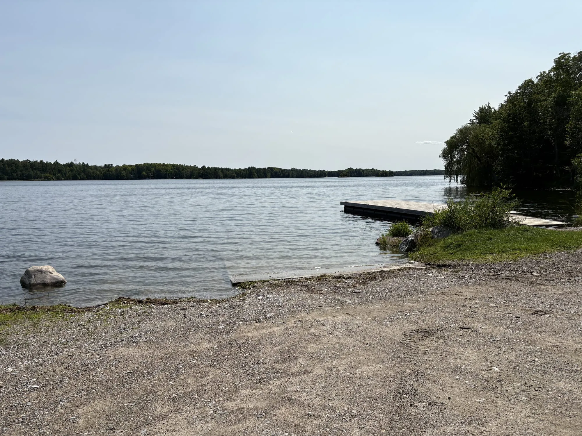
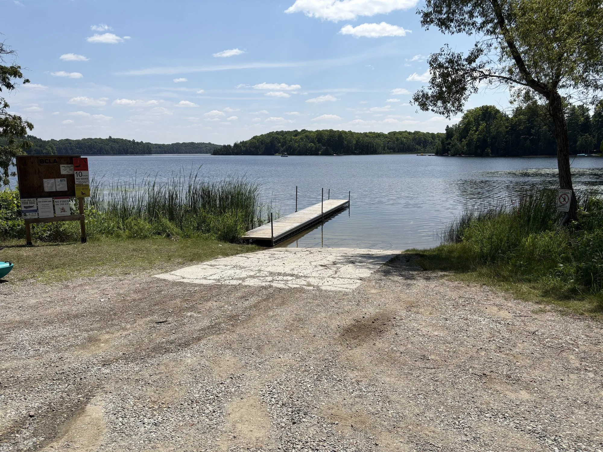
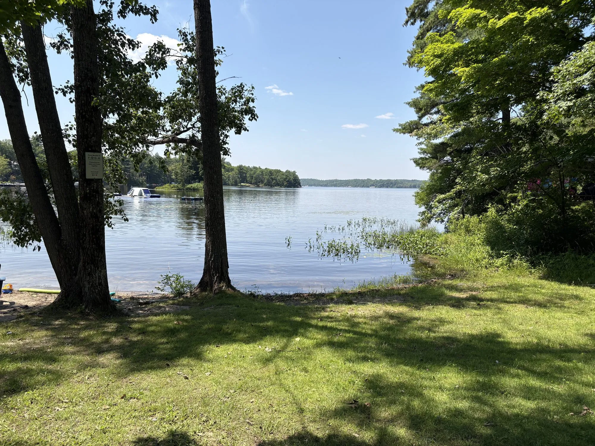
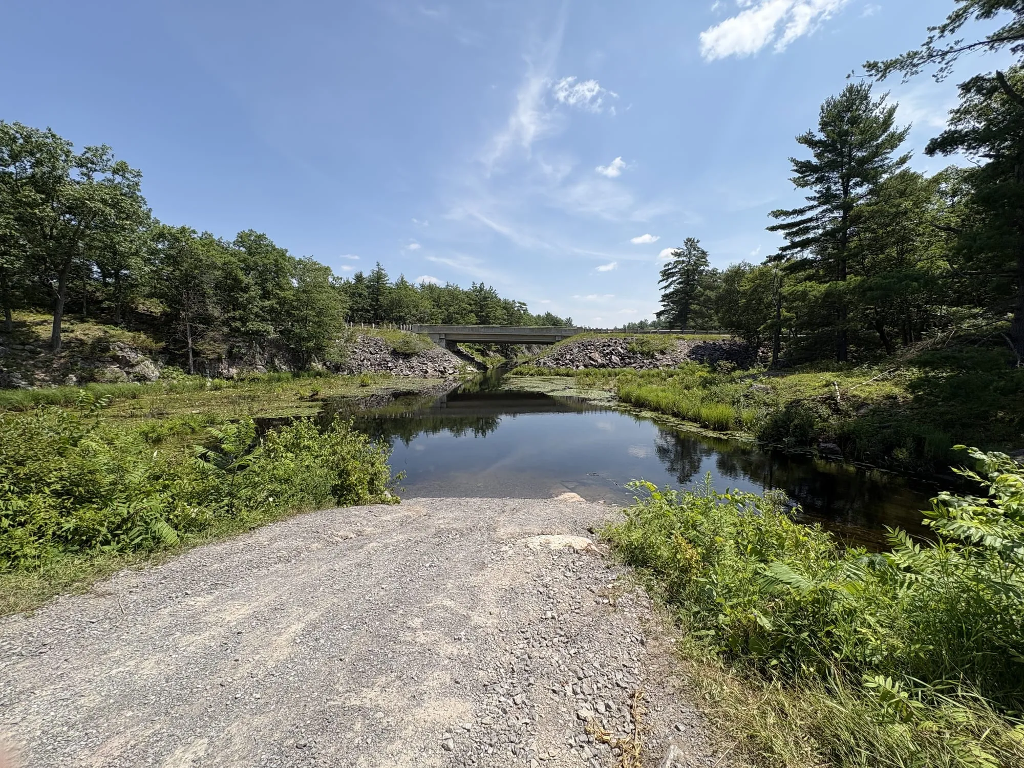
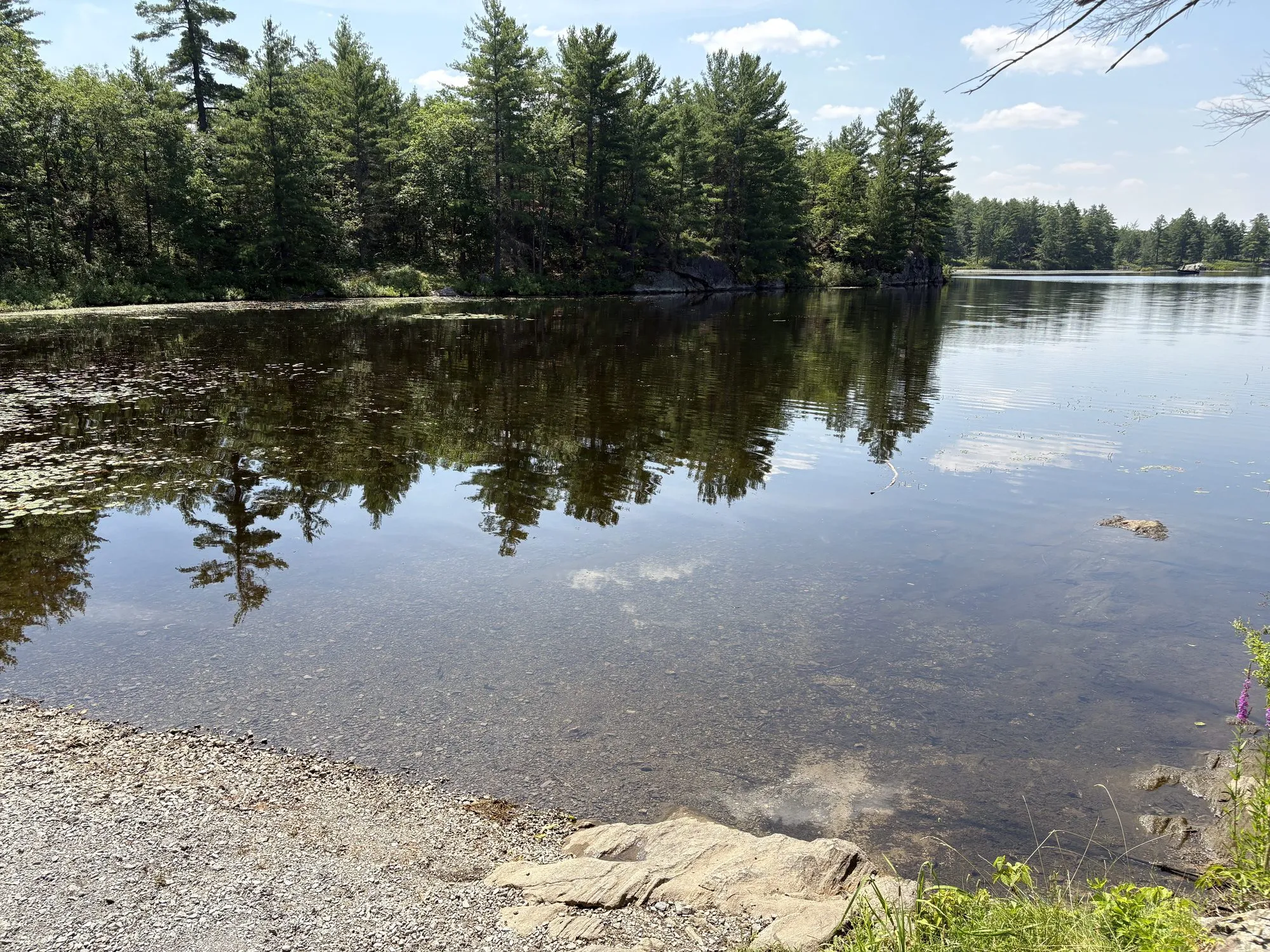
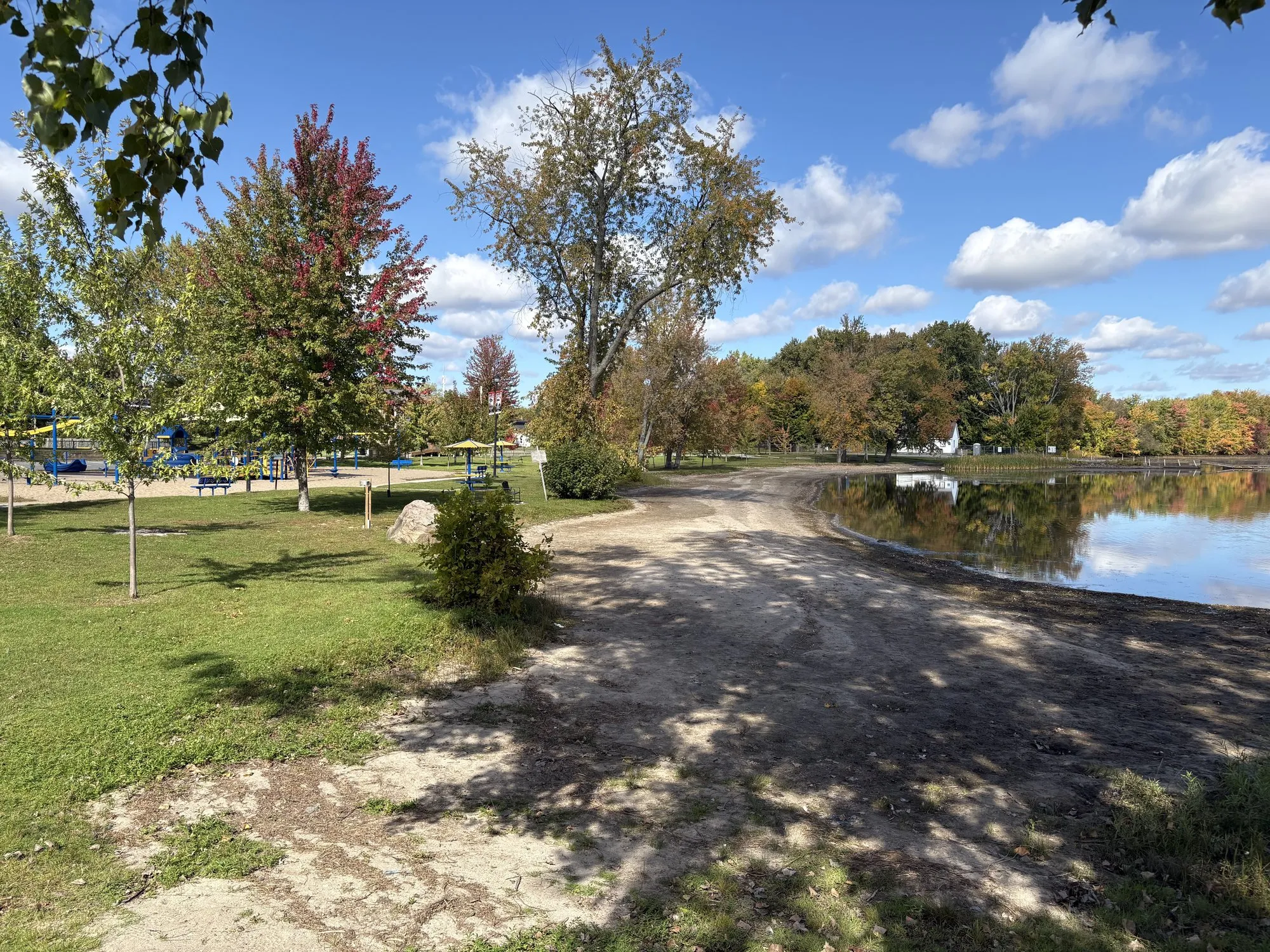
The corridor crosses the southern edge of the Canadian Shield, which means one glorious thing: lakes. A swim is the single best way to break up this drive, and you’re rarely more than fifteen minutes from public sand. Here’s the water, east to west.
A note on “hidden” swimming holes
You’ll hear about them — every local has one. We don’t publish them, on principle: half sit on private property, none are monitored, and the surest way to ruin a quiet spot is to put it on the internet. Everything below is public, established, and legal to swim at — and honestly, on a Tuesday morning, most are as empty as any secret.
Carleton Place — km 50
The corridor’s best-equipped swim stop, and its only lifeguarded one until Peterborough. Riverside Park Beach (west end of John St, on the Mississippi River) has lifeguards daily from mid-June to the end of August, washrooms, a splash pad, and a playground — the full family package five minutes off the highway. Centennial Park Beach sits directly across the river as the quieter alternative. Water is tested by the local health unit; respect posted closures.
Smiths Falls — km 68
Canal swimming, which is a different proposition from a Shield lake — warmer, slower, and with boats locking through in the background. There are two public beaches on the Rideau next to Centennial Park (2–22 Confederation Drive), split by depth: a shallow wading side for small kids and a deeper one for everyone else. They’re sampled weekly by the Leeds, Grenville & Lanark health unit from late June to early September, with results posted Friday mornings — and the record here is good, passing at least 95% of the time. Lower Reach Park (12-B Old Slys Road) is the other option, 60 acres on the canal with docks you can swim off, plus a splash pad if the water’s too cold for the kids.
Perth — km 85
Worth setting expectations: Perth is a river town without a lake beach. What it does have is the Conlon Farm splash pad (127 Smith Drive), free and open daily 9am to 9pm from the Victoria Day weekend to September 15 — which is the practical answer if you’re travelling with kids and hit Perth at the wrong end of a hot afternoon.
Maberly — km 105
The classic. Sand beach, picnic shade, canoe launch, zero detour — the park entrance is on Highway 7 itself. Day-use fees in season, and it fills on hot Saturdays by late morning; go early or hit it on the way home.
There is also a free public access at Silver Lake, a small picnic and parking stop off the highway with a boat launch, where people swim from the launch or off the rocks. A reader who was there this summer told us about it. We haven’t stood at the turn-off ourselves, so we can’t give you the exact one to take yet. If you know it, tell us and it goes in.
Sharbot Lake — km 120
Two options. The village beach is a genuinely good stretch of sand with a playground, right by the old railway station — free, local, lovely on a weekday. Sharbot Lake Provincial Park, a few minutes east along the highway, has two sandy day-use beaches on Black Lake — shallow, gradual, sandy-bottomed, ideal for small kids — plus a designated dog-swim area, picnic shelter, and washrooms.
Two more sit in the lake country south and east of the village, both small township spots with docks and picnic tables: Crow Lake (1895 Crow Lake Road, about eight kilometres southeast) and Eagle Lake, roughly ten kilometres south toward Tichborne.
The Arden lake country — off km 130–145
The township beaches south of the highway between Sharbot Lake and Kaladar are the closest thing this guide has to hidden gems that are still fully public. Long Lake Beach (Public Beach Road, on Long Lake Road between Mountain Grove and Parham) is the sleeper of the whole corridor: 130 metres of sand — one of the longest beaches anywhere on the route — with change rooms, washrooms, and a floating raft to swim out to. Arden Beach on Big Clear Lake (Price Road) is a grassy launch-and-swim spot with a floating dock; the lake bottom is rocky, so pack water shoes. And Kennebec Beach (1001A Graham Road, off Henderson Road, Arden) is the quiet one — a picnic table, a dock, and not much else, which is the point.
Kaladar — km 150
Sheffield Conservation Area, eleven kilometres south on County Road 41, is the rugged option: Little Mellon Lake, more rock-and-pines than sand-and-snackbar. No facilities to speak of — that’s the appeal. Carry on south past the L&A Dark Sky Viewing Area and there’s a second dip to be had, a small steep access onto Mellon Lake — which together make the corridor’s best evening plan: swim at dusk, dry off, and stay for the darkest sky in Southern Ontario. And north on 41, Bon Echo’s Mazinaw Lake remains the corridor’s grandest swim: deep, clear, and under a hundred-metre cliff (35 minutes, day-use fees, worth it).
Tweed — via Actinolite, km 165
Tweed Park beach on Stoco Lake is right in the village — swim, then walk the main street. One honest note: Stoco Lake has had occasional water-quality advisories over the years, and the health unit samples it weekly in season — glance at the posting board before you wade in.
Madoc — km 190
Moira Lake Park, just south of town, is the local swim. Its water record is clean enough that the health unit stopped bothering to test it regularly — about the best endorsement a lake can get.
Marmora — km 205
Legion Park, in town at Cameron and Matthew streets, has a public swimming area on the Crowe — pair it with the mine lookout for the corridor’s best one-two stop. Booster Park, a family campground on the east side of Crowe Lake, has a proper waterfront sand beach open Victoria Day to Thanksgiving (small fee — it’s a campground).
Havelock — km 230
The lakes hide just north of the village: Belmont Lake beach (Mile of Memories Road — yes, really) and Kasshabog Lake beach (Peninsula Road) are quiet township beaches in genuine cottage country, both regularly rated low-risk in the region’s weekly beach reports.
South of Norwood — Hastings & Rice Lake, via County Rd 45
Fifteen minutes south of Norwood, the village of Hastings sits where the Trent River flows out of Rice Lake — and it keeps two sandy public beaches: Hastings North on Front Street West, and Hastings South by the marina on Dit Clapper Drive. Warm river-mouth swimming with a working village around it; you may share the water with a heron. Further along Rice Lake’s south shore at Roseneath, Sandy Bay Public Beach is the little-kid special — a parkette with swings and a small sandy beach where the water stays warm and shallow.
Peterborough — km 270
Beavermead Park on Little Lake is the city’s only supervised beach — lifeguards daily from late June through August — with Rogers Cove nearby as the unsupervised alternative. A proper swim inside city limits before the last leg home.
The rules of corridor swimming
Shield lakes warm late and cool early — mid-July to late August is prime. Public beaches are tested by the local health units, and the practical rule is: skip the swim for a day or two after a heavy rain, which is when bacteria counts spike and closures happen. Almost nothing out here has a lifeguard (Carleton Place and Beavermead are the exceptions) — swim accordingly. And the unwritten one: if a beach has one family on it, there’s room for one more, not six.
Water safety — read this part
Nearly every spot in this guide is unsupervised. That means: watch your kids every second they’re in the water, know that lake bottoms drop off and change without warning, and remember that Shield lakes stay cold enough to steal your breath well into summer. Water quality changes week to week — posted signage at the beach always overrules this guide, and your local health unit’s weekly beach results are the current word. We describe these places as carefully as we can, but conditions on the day are yours to judge: swim within your abilities, and when in doubt, don’t.
Details gathered from municipal and health-unit sources, August 2026 — field verification (the fun kind) ongoing. Know a public beach we missed? Send it in.