Why stop
Because everything meets here. Kaladar is the corridor’s junction with Highway 41: north into the Land O’ Lakes, south toward Napanee and the 401. It’s the natural reset point — fuel, snacks, a cold drink and a moment to get your bearings — before heading off in any of four directions: east or west on the 7, north or south on the 41. Four highways’ worth of travellers stop here, and the businesses at the junction are built for exactly that.
The detour north
Up 41 you pass through Northbrook — the Land O’ Lakes service village, and the best place to stock up before the park — and in about 35 minutes reach Bon Echo Provincial Park. Mazinaw Rock is the closest thing Eastern Ontario has to a natural wonder: a hundred-metre cliff rising sheer out of Mazinaw Lake, faced with Indigenous pictographs you can visit by canoe or tour boat. If your Highway 7 trip has room for one big side quest, this is it. Book campsites well ahead in summer.
The trail through town
Kaladar sits directly on the Trans Canada Trail — the old CP rail corridor that parallels the highway, running east to Sharbot Lake (and the K&P junction) and west to Tweed. For the ATV and snowmobile crowd this makes Kaladar a genuine waypoint, not just a gas stop: fuel, snacks, and rail grade in both directions.
The detour south — the night sky
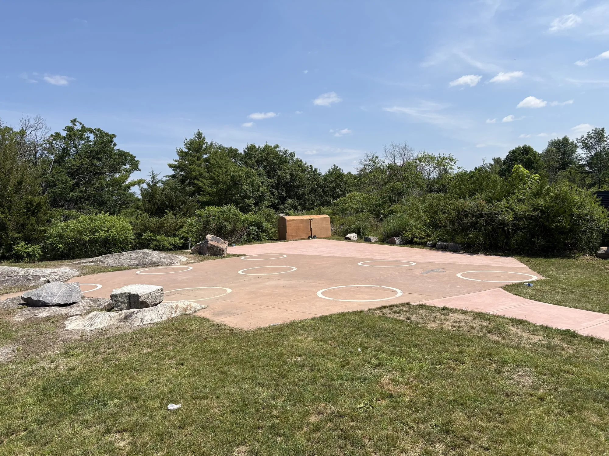
Eleven kilometres down County Road 41 is one of the corridor’s most remarkable stops, and one of its least known: the Lennox & Addington Dark Sky Viewing Area — the most southerly unimpeded dark-sky site in Ontario. No streetlights, no subdivisions, no gates, no fee: just a viewing deck (named for stargazing author Terence Dickinson, who identified this stretch of road), a parking lot walled off with boulders so headlights can’t spoil the dark, and the actual Milky Way. Open year-round; on a clear new-moon night it draws astrophotographers from hours away.
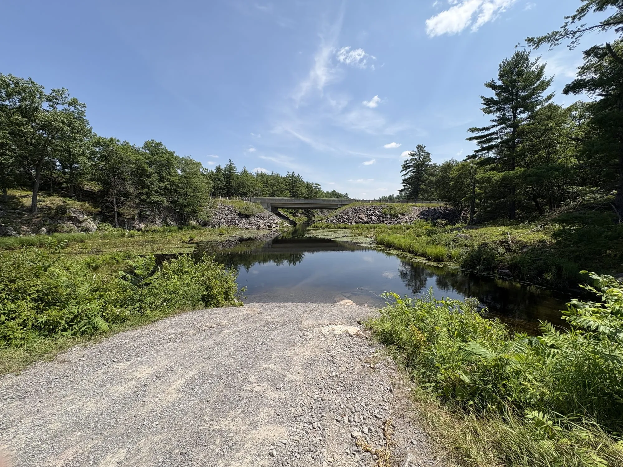
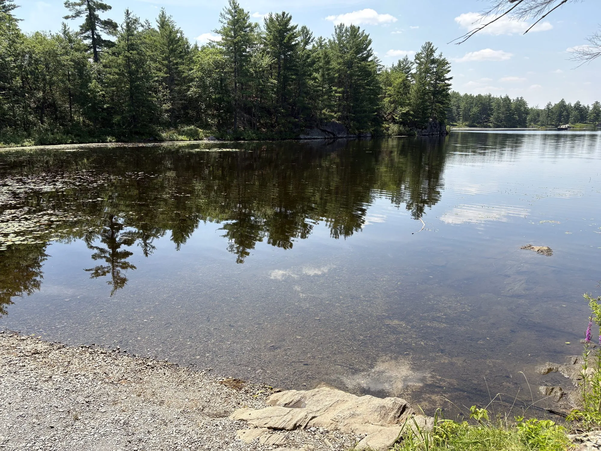
The same stretch of road hides a bonus: a small public access onto Mellon Lake just south of the viewing area — tiny, with a steep little incline down, but enough to slide in a canoe or grab a quick dip. Which makes possible the corridor’s best-kept evening plan: swim at dusk, dry off, stargaze. (Sheffield Conservation Area’s entrance is the next one north, on Little Mellon Lake, for the fuller rock-and-pines experience.)
Looking for Tweed? That turn is fifteen minutes further west on the 7, at Actinolite.
Run a business at the Kaladar corner? Claim your free listing.