Half the point of driving the 7 with a boat or canoe on top is that the put-ins are everywhere — most of them free township launches that big-lake boaters have never heard of. Here’s where to get on the water, east to west.
Carleton Place — km 50
Riverside Park has two public launches on the Mississippi — the easiest big-water access on the east end of the corridor, with parking and washrooms right at the ramp.
Smiths Falls and the Rideau locks — km 68
This is canal country, and the launches are Parks Canada’s rather than the township’s — paved, maintained, and charging a launch fee plus day parking. Smiths Falls Detached (turn onto Abbott Street and cross the bridge) has a paved ramp and a cement dock, good to about 20 feet, under the raised bascule bridge that gives the lockstation its name. Three more sit within a short drive: Lower Beveridges (Port Elmsley Road, a kilometre north of Rideau Ferry) is the best of them for anything with a trailer — paved ramp, cement dock, 30 feet; Edmonds (Jasper Road) is paved but has no dock; and Poonamalie, north of Lombardy, is gravel with no dock and worth a look before you back down it.
Perth — km 85
Last Duel Park, 22 Craig Street, is the town’s water access: a boat launch, a separate kayak launch, six dock slips with shore power for boats up to 38 feet, and public washrooms. Services run May 15 to Thanksgiving, launch passes are sold daily or seasonally — and canoes and kayaks launch free. Slips can be reserved ahead. Paddlers can also put in downtown at the Tay Basin and run the lower Tay out through the marsh.
Maberly — km 105
The park’s day-use area is the corridor’s simplest canoe and kayak put-in — carry from the parking lot, and you’re paddling a quiet Shield lake two minutes off the highway. Day-use fees in season; best suited to cartop boats.
A reader tells us there is a launch at the free public access on Silver Lake as well, at the picnic stop off the highway, with no fee to use it. We haven’t confirmed which turn it is; if you have used it, put us right.
The Sharbot Lake cluster — km 120–145
Central Frontenac runs free public launches with docking at nearly all of its township beaches — a paddler or fisherman could work this stretch for a week without launching at the same lake twice:
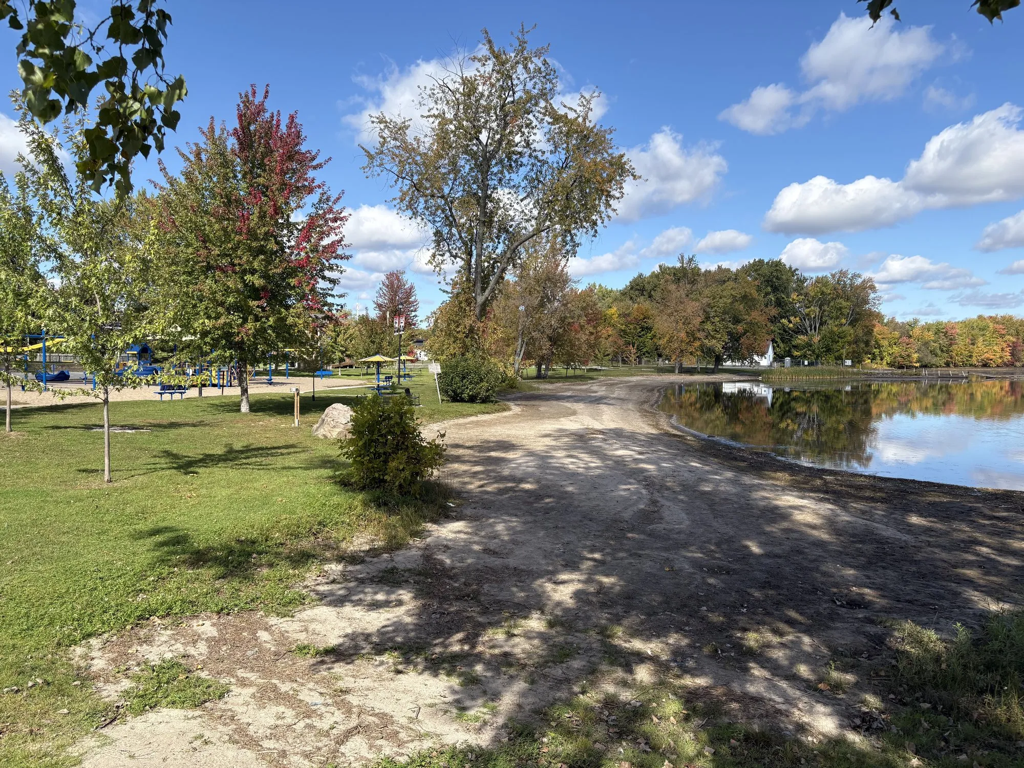
- Sharbot Lake — launch and docking at the village beach (1021 Medical Centre Rd), free parking, food a short walk away. The most services of any launch on the corridor.
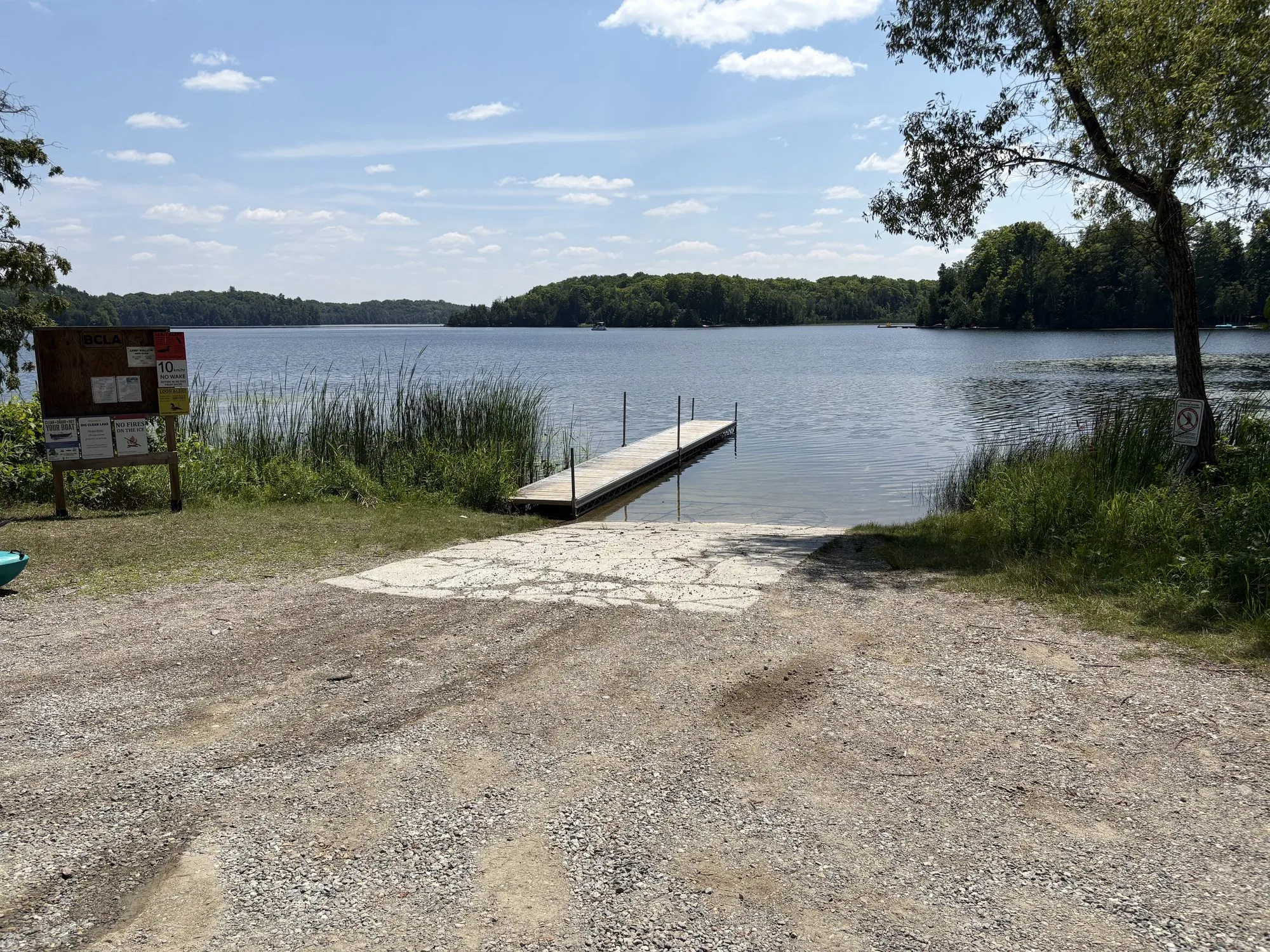
- Big Clear Lake — gravel launch and floating dock at the beach (1110 Price Rd); posted 10 km/h no-wake.
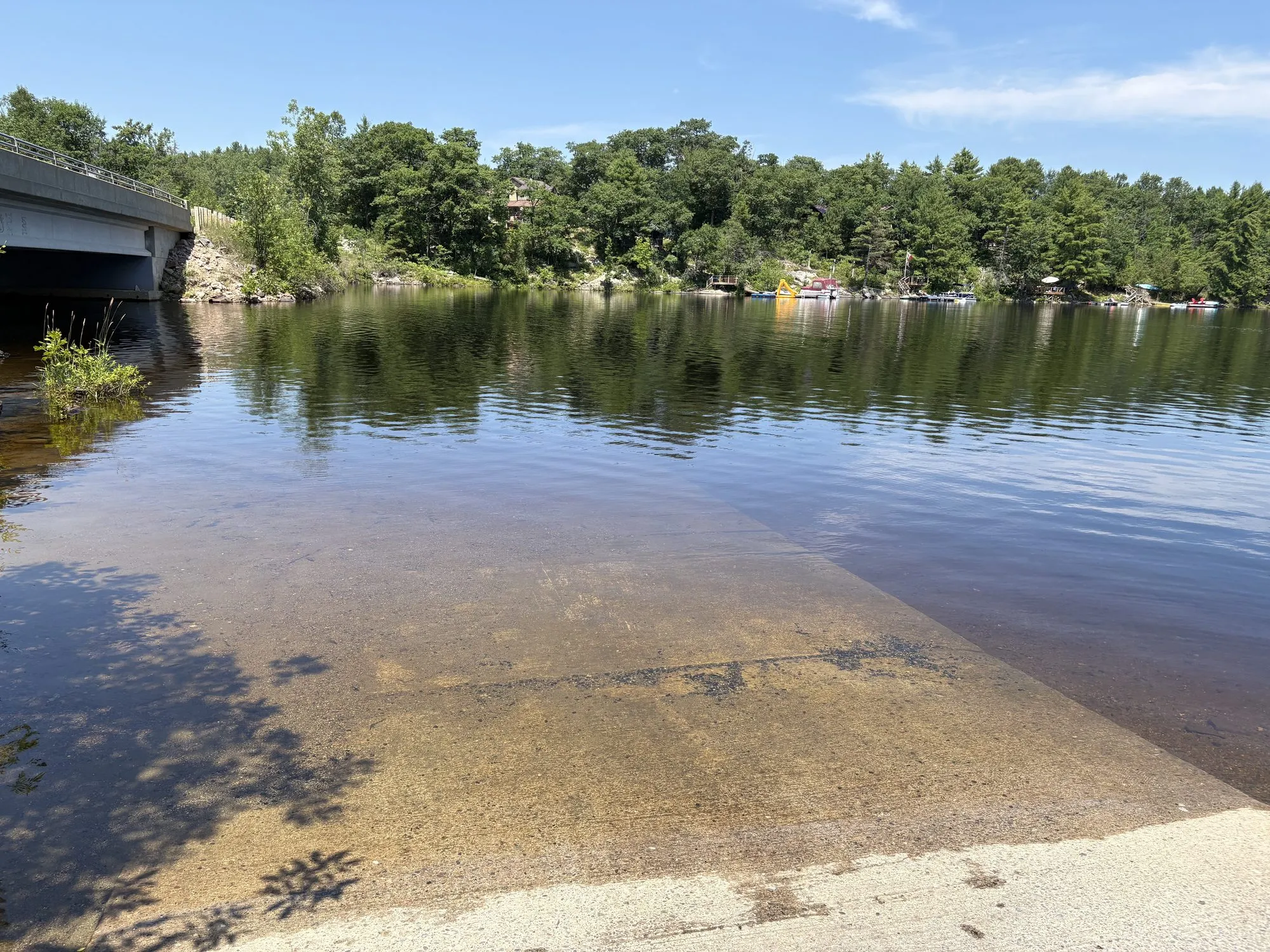
- Kennebec Lake — concrete-ramp launch beside the bridge at 1250 Henderson Rd, with a second dock at Kennebec Beach (Graham Rd); the quiet option.
- Long Lake — launch and dock at Long Lake Beach (Public Beach Rd), south of the highway on Long Lake Road, midway between Mountain Grove and Parham.
- Crow Lake and Eagle Lake — smaller township launches with docks and picnic spots.
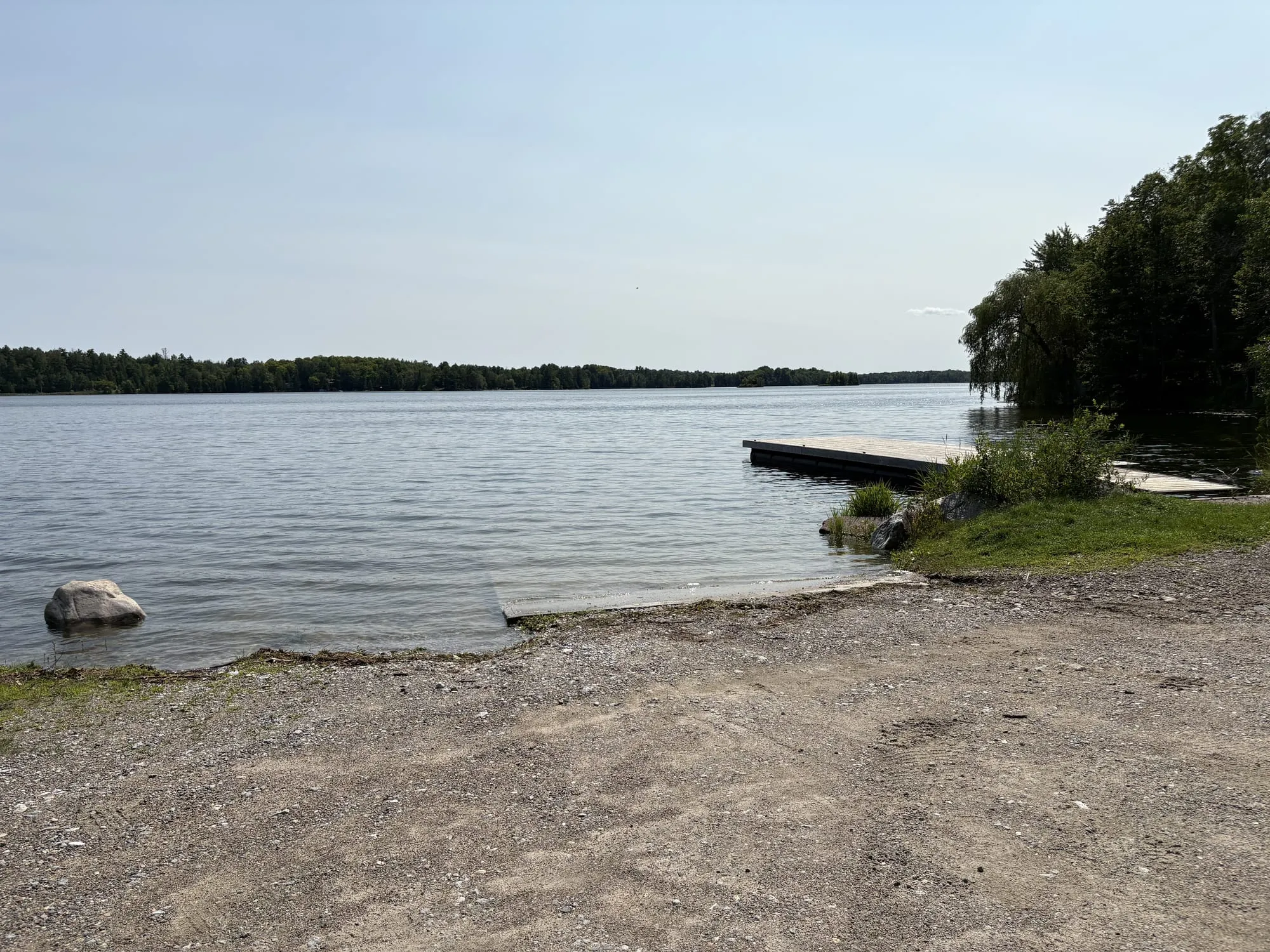
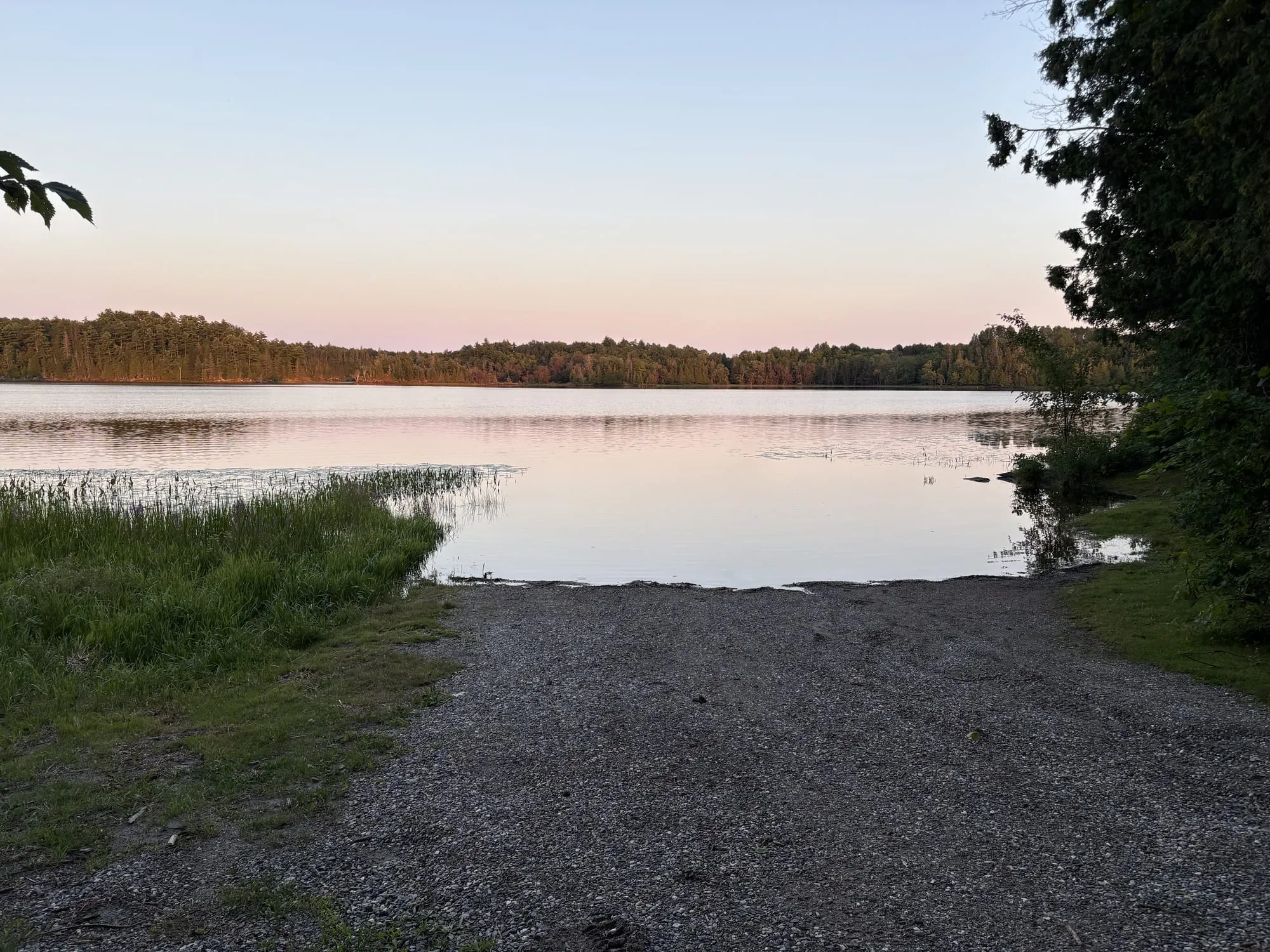
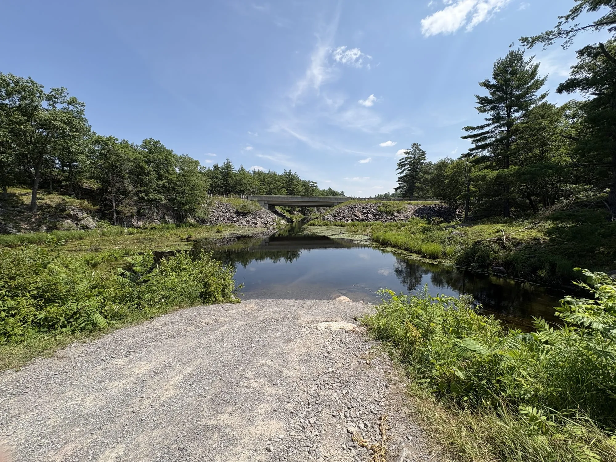
Bull Lake, west of Arden, is the odd one out and the reason for the photograph above: a gravel ramp running straight into the water at the end of Keith Knight Road, with no dock, no facilities and no sign to tell you you’ve arrived. There’s room to turn a trailer on the gravel apron. We’ve stood on it — we haven’t been able to establish who maintains it, so treat it as a put-in rather than a serviced launch, and eyeball the ramp before you back anything heavy down it.
Actinolite — the Skootamatta take-out
Price Conservation Area, on the south side of the highway at the Hwy 7/37 junction, is the regular canoe take-out for the Skootamatta River paddle route — free parking, no fee, and the picnic area at Skootamatta across the road for the drivers waiting on you.
South of Kaladar — the stargazer’s put-in
Eleven kilometres down County Road 41 there’s a small public access onto Mellon Lake — genuinely small, with a steep little incline, so this is strictly a cartop spot: slide a canoe down, don’t dream of a trailer. What makes it worth the detour is what’s a few steps back up the road: the L&A Dark Sky Viewing Area, so an evening paddle can run straight into the darkest sky in Southern Ontario.
Mazinaw Lake — via Kaladar, km 150
Launching at Bon Echo Provincial Park (35 minutes north on Hwy 41) puts you on deep, clear Mazinaw with the pictographs and the great cliff reachable only by water — the corridor’s most spectacular paddle, full stop. Day-use fees; arrive early on summer weekends.
Tweed — km 165
Two ways onto Stoco Lake. The Tweed Public Boat Launch at 125 River Street East is the straightforward one, a short walk from the village. There’s a second launch on Cosy Cove Lane, off Sulphide Road — the municipality asks boaters to go easy there, because parking is tight and it backs onto people’s homes.
Madoc — km 190
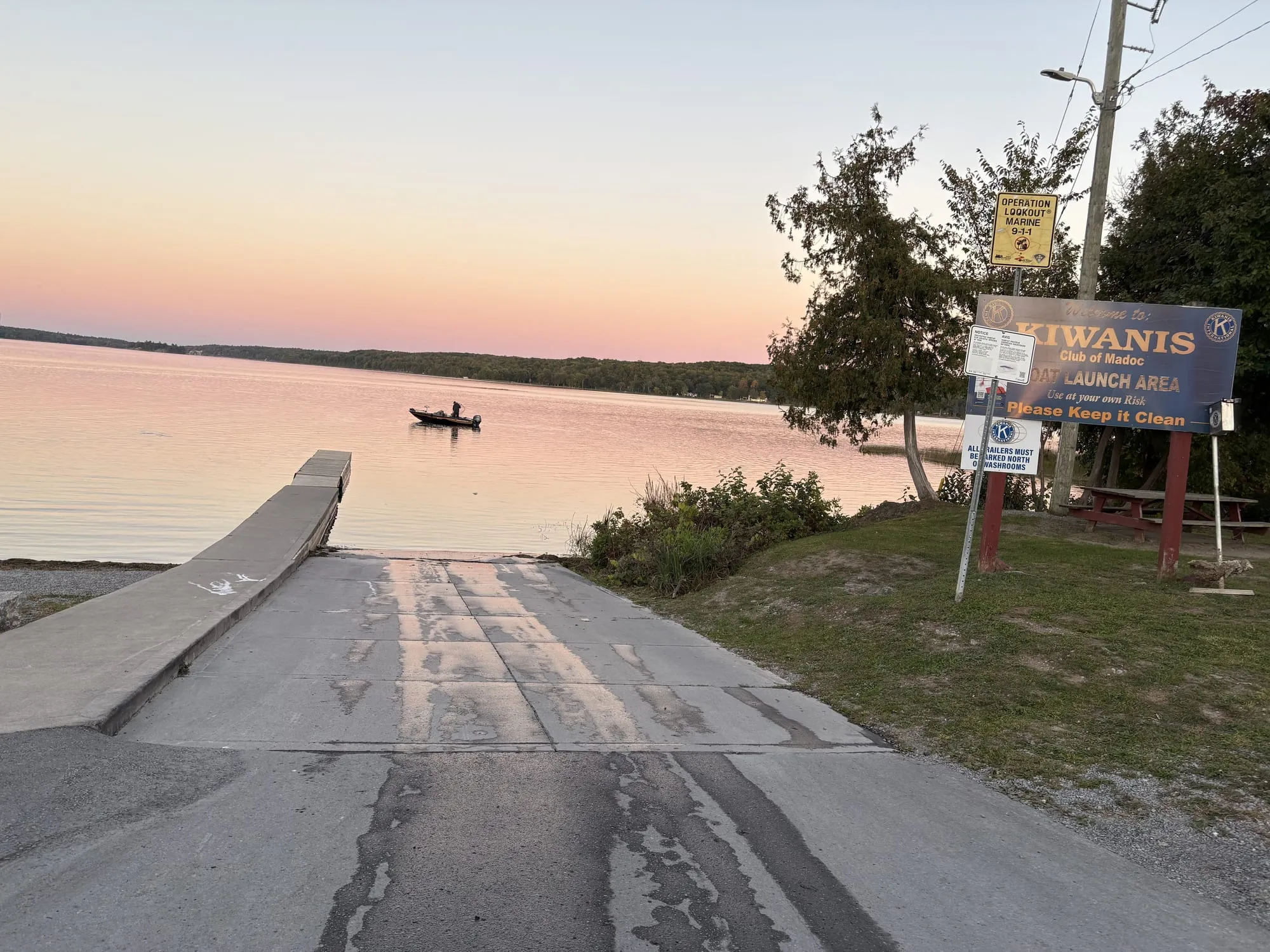
The Moira Lake launch sits on Boat Launch Road off Hwy 62, run and maintained by the Madoc Kiwanis club — ample parking, restrooms, and shaded picnic spots, with a short boardwalk trail beside it that’s good for birding while someone else parks the trailer. Moira holds muskie, pickerel, bass and walleye.
Crowe Lake — Marmora, km 205
Two options in town. A public launch just south of Legion Park puts you on Crowe Lake and the Crowe River system — solid fishing water. And Mag’s Landing, just north of the dam, reaches Beaver Creek and Crowe Lake from the other end of town — walkable from Memorial Park along the riverside trail.
Havelock — km 230
The township runs seven public launches, which is the most concentrated access anywhere on the corridor: Belmont Lake (Mile of Memories Road), Kasshabog Lake (431 Peninsula Road), Crowe Lake (Blairton Road), Round Lake (Round Lake Road), Jack Lake (Jack Lake Road), West Twin Lake (5636 County Road 46), and one on the North River at Anderson Road. The township doesn’t publish ramp specs, so treat the smaller ones as eyeball-before-you-commit.
Norwood and Hastings — km 240
Four public launches onto the Trent River, all Asphodel-Norwood’s. Asphodel Heights Park (139 Indian Road, Hastings) is the one to pick if you’ve got passengers — launch, restrooms, picnic tables, playground and green space, with river traffic to watch. Birdsall Wharf (2021 Birdsall Line) and the Asphodel 5th Line launch are plainer, both with parking. At Old Orchard Road the launch and the trailer parking are a kilometre apart — the parking’s on Drysdale Road.
Before you launch
Three things that matter out here. PFDs: carry a properly fitting one for every person aboard — it’s the law, and Shield water is cold. Clean, drain, dry: these small lakes have so far dodged the worst invasive species, and keeping it that way depends on boats arriving clean — pull your plug, drain everything, and let the hull dry between lakes. Launch conditions vary: township ramps range from concrete to gravel-and-hope; if you’re trailering something heavy, eyeball the ramp before you commit. As everywhere on this site, conditions on the day overrule anything written here.
Details from municipal, Parks Canada and park-authority sources, August 2026 — ramp-by-ramp field notes (concrete vs. gravel, dock condition, trailer parking) are the next upgrade. Know a launch we missed? Send it in.