The railways that built these towns didn’t die — they became trails, and the corridor has more of them than anywhere else in Eastern Ontario. The spine is the Trans Canada Trail, running east–west on the old CP line and roughly paralleling Highway 7 from Glen Tay near Perth west toward Havelock, then picking up again as the Lang-Hastings Trail into Peterborough. The K&P Trail (Kingston & Pembroke — “the Kick and Push,” as the railway was lovingly mocked) runs north–south and crosses it at Sharbot Lake, and at the west end the Hastings Heritage Trail runs north–south through Madoc and Marmora country.
The east end is a different network again, and it’s the part most people miss. Smiths Falls is where the Ottawa Valley Rail Trail starts its 296-kilometre run to Mattawa and the Cataraqui Trail starts its 104-kilometre run to Strathcona — two long-haul rail trails beginning in the same town. Threading through both, and through Perth, is the Rideau Trail: 387 kilometres of footpath between Kingston and Ottawa, and the one system here that is not a rail grade and not open to bikes or ATVs.
That’s the distinction worth carrying: rail trails are wide, flat, shared, and motorized in season. The Rideau Trail is a hiking trail. Cyclists and hikers own the rail grades in summer (the K&P’s southern half especially), ATVs ride them with permits, and in winter they belong to the snowmobiles. Here’s the network, east to west.
Carleton Place — km 50
The Ottawa Valley Rail Trail runs right through town, and it’s paved here — the easiest surface anywhere on the corridor, with proper signalled pedestrian crossings at the roads. West of town it’s about 25 kilometres of flat gravel grade to Smiths Falls; north it links Almonte and Pakenham. For a shorter turn, the Rotary Centennial Trail is a 7-kilometre riverside path along the Mississippi from below the McNeely Avenue bridge out to Appleton, and the Mississippi River Walk and O-Kee-Lee Trail cover the town end, the latter reached through Centennial Park.
Smiths Falls — km 68
The corridor’s other great trail crossroads, and the one nobody expects. Two long-haul rail trails begin here: the Ottawa Valley Rail Trail heads northwest 296 kilometres to Mattawa, and the Cataraqui Trail runs 104 kilometres southwest to Strathcona near Napanee, its first 78 kilometres to Harrowsmith forming part of the Trans Canada Trail. The Cataraqui’s showpiece is a 1912 railway trestle carrying the trail over the Rideau Canal at Chaffey’s Locks. Smiths Falls is also one of the four main trailheads of the Rideau Trail, at Centennial Park.
Glen Tay and the Rideau Trail (Perth) — km 85
Two different trails, two different sports. From Glen Tay, just west of Perth, the old CP grade runs west through the lake country to Sharbot Lake and beyond — a cyclist can leave Perth’s stone downtown and be on a hundred-plus kilometres of rail trail within minutes.
Perth is also a main trailhead of the Rideau Trail, and that one starts at Last Duel Park, 22 Craig Street — the same park with the boat launch. From there it’s footpath, blazed and maintained by the Rideau Trail Association since 1971, running 387 kilometres between Kingston and Ottawa. Walking, snowshoeing and cross-country skiing only — no bikes, no ATVs.
Sharbot Lake — km 120
The crossroads of the whole network, and the single best place on the corridor to start any trail day. The K&P arrives from the south — 75 finished kilometres of stone dust from downtown Kingston through Harrowsmith, Verona, Godfrey and Tichborne, a genuinely excellent cycling surface — and continues north toward Snow Road and Calabogie (note: a stretch south of the Mississippi up there is still rough and undeveloped). The Trans Canada Trail crosses it east–west at the village, at a junction signed as Thomson’s Cut — “where the trails come together.” Old rail grade in four compass directions, with the beach, food, and free parking at the trailhead.
The Arden country — km 130–150
Between Sharbot Lake and Kaladar, the classic back-country riding route swings through Arden and Mountain Grove — Shield rock, cedar, lake glimpses, and the reason this stretch is a favourite for ATV touring. Pairs with Long Lake and Arden beaches for the swim stops.
Kaladar — km 150
Directly on the Trans Canada Trail: rail grade east to Sharbot Lake, west to Tweed, fuel and snacks at the junction. For long-haul riders Kaladar is the reliable mid-run waypoint — and the Dark Sky Viewing Area is eleven kilometres south for anyone making an evening of it.
Flinton — km 157
The exception that proves the guide’s rule. Everything else here is an old railway; the L&A Forest Trails are ten kilometres of trail somebody actually built, on 120 acres of county forest at the edge of Flinton village. Nine marked routes, from the easy 2.5-kilometre Pines Loop to the harder, tighter riding on Dipsy Doodle and Lost & Found, laid over granite outcrop and through mature pine — and one stretch named Land of Enchantment, whose mossy sections carry the names Fraggle Rock and Emerald City.
It was designed for mountain bikes, and it’s the only genuinely technical riding on the corridor, but hikers and snowshoers get as much out of it. Free, open year-round, roughly four kilometres groomed in winter for fat bikes and snowshoes, with a bicycle repair station at the trailhead. The trailhead is on John Street; park free in the paved lot at 72 Edward Street, which is the township office — the rare corridor trail where you leave the car at the seat of municipal government.
Note the inversion: everywhere else on this list the machines share the grade, and here they don’t. The forest is non-motorized throughout except one marked 750-metre orange section for ATVs and sleds.
Tweed — via Actinolite, km 165
A proper trail town. The corridor trail comes through from Kaladar, and the popular Tweed-to-Bancroft loop starts here — past Stoco Lake and north through the Hastings highlands, one of Eastern Ontario’s signature ATV runs. Main street, butter tarts, and a beach for the return leg.
Madoc — km 190
Gateway to the Hastings Heritage Trail: 150-plus kilometres of old rail line from Glen Ross north to Lake St. Peter, the west end’s great north–south artery. The scenic Centre Hastings loop — alongside Madoc, Marmora and Stirling — is the manageable day-ride version, with bakery and diner stops built in.
Marmora — km 205
On the Hastings network and the Bancroft loop both — and the mine lookout is a signature stop on the ride, the kind of view you don’t expect to earn from a rail grade. Crowe River and Lake handle the swim.
Havelock — km 230
The end of the CP grade, and the natural start or finish line for a full east–west run — the corridor trail reaches Havelock from Tweed and Kaladar, with fuel, food, and the Kawartha Highlands waiting to the north.
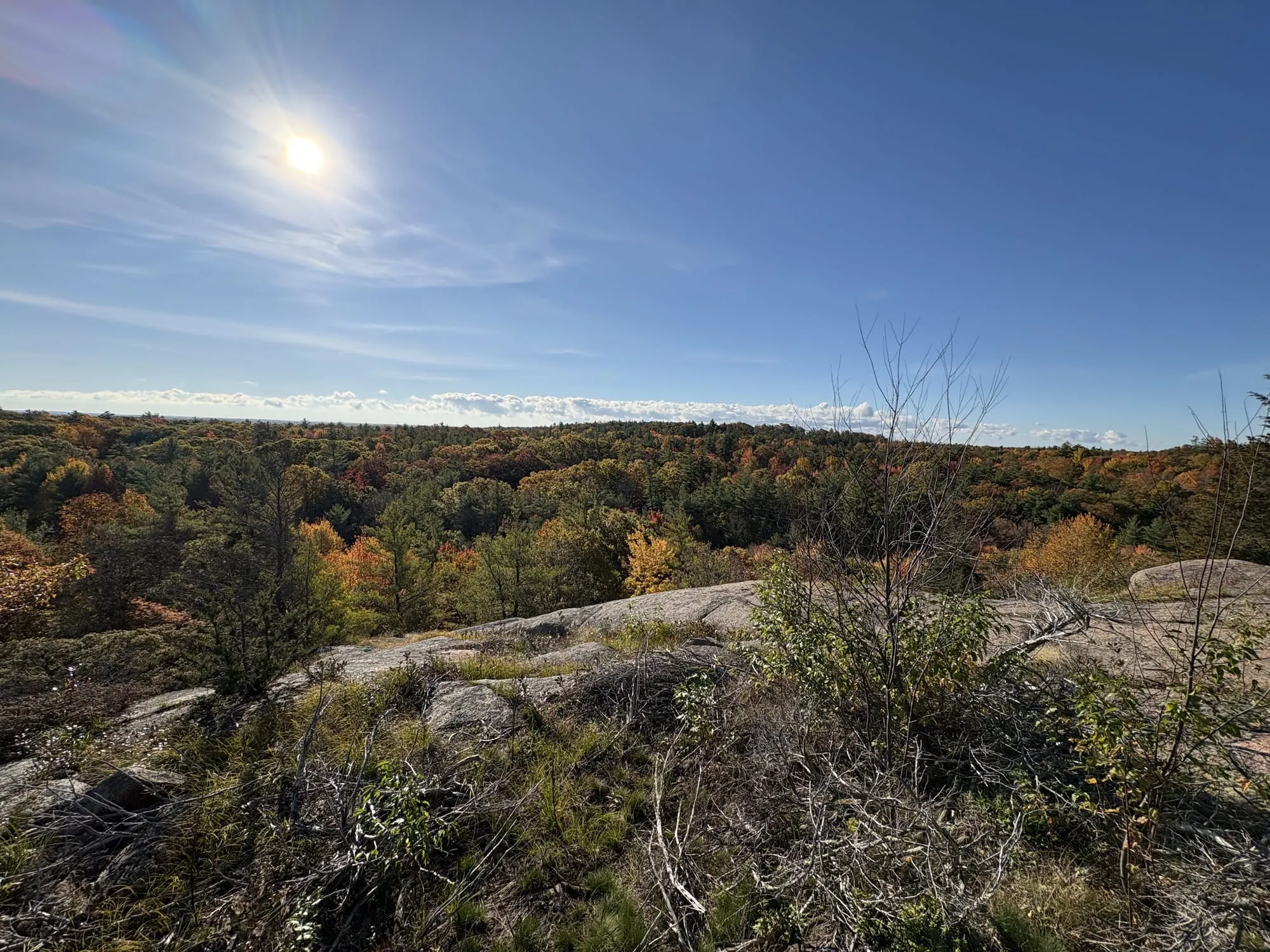
For something shorter, Mathison Conservation Area is in the village itself, behind the HBM Community Centre: about 2.7 kilometres of wide, level trail through mature sugar maple forest, wetland and old field, on 100 hectares John Mathison gave the township in 2001. No single trail runs over a kilometre, the network was rebuilt in 2023 and is wheelchair accessible, and side paths lead out to lookouts over the wetland. Walking and cycling only, dogs on a leash, free parking. With that much maple, it’s one of the best short walks on the corridor in October.
Norwood and Hastings — km 240
The Trans Canada Trail picks up again on a different railway. The Lang-Hastings Trail runs 33 kilometres on the old CN bed from the Trent River at Hastings west into Peterborough, surfaced with more than 30,000 tonnes of crushed limestone — flat, wide, and one of the better-finished stretches on the whole route. It’s a greenway rather than a rail trail in the ATV sense: hiking, cycling, horses, cross-country skiing and snowmobiling only.
Peterborough — km 270
The western terminus, and the surprise is how good the riding is inside the city. The Rotary Greenway Trail runs north from Peterborough to Lakefield — roughly seven kilometres of paved 3-metre path from Ashburnham Drive to Trent University, then crushed limestone the rest of the way — and it passes the Peterborough Lift Lock, the highest hydraulic lift lock in the world, which is a genuinely strange thing to ride past. With the Lang-Hastings arriving from the east, a rider can finish the corridor and keep going.
Know before you ride
Permits: walking and cycling are free everywhere; motorized use isn’t. ATVs need trail permits (the Eastern Ontario Trails Alliance covers most of this network; the Frontenac K&P has its own permit rules), and winter sledding runs on OFSC permits. Know which kind of trail you’re on: the rail grades are shared with machines, but the Rideau Trail is foot traffic only — no bikes, no ATVs — the Cataraqui Trail permits snowmobiles by permit but is otherwise non-motorized, and the L&A Forest Trails at Flinton are non-motorized apart from one marked orange section. Seasons: trails soften in spring thaw and sections close — respect the signs, ruts last for years. Shared grade: cyclists, horses, ATVs and hikers share most of these trails; slow down for everyone slower than you. Cell coverage is spotty off the highway — tell someone your route. And as everywhere on this site: conditions on the day overrule anything written here.
Route details from county, municipal and trail-organization sources, August 2026 — trailhead-by-trailhead field notes (parking, surfaces, signage) are the next upgrade. Ride these trails? Tell us what we got wrong.